
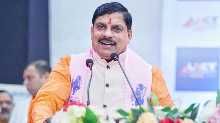
How To Contact Chief Minister [CM] of Madhya Pradesh?
To contact the Chief Minister of Madhya Pradesh (Dr. Mohan Yadav), call the toll-free CM Helpline at 181 or WhatsApp +91 755 2555582. For general inquiries or correspondence, email cm@mp.gov.in or write to the CM Office at Vallabh Bhawan-2, Arera Hills, Bhopal – 462004.
Address:
5th Floor, Vallabh Bhawan-2,
Ministry,
Arera Hills, Bhopal, Madhya Pradesh
Madhya Pradesh at Glance
Madhya Pradesh is situated in the central region of India and that’s why it is called the Heartland State. It has the largest reserves of diamond and copper in India as Madhya Pradesh is rich in mineral resources. It came into existence in 1956. It experiences sub-tropical climate. Hot dry summer is from April to June and Monsoon Rains are from July to September. There are all total 55 districts present in Madhya Pradesh. It has 92% of Hindus and around and the remaining 8% are Muslim, Jain, Christian, Sikhs and Buddhists.
Geography of Madhya Pradesh
Madhya Pradesh literally means “Central Province”, and is located in the geographic heart of India, between latitude 21.2°N-26.87°N and longitude 74°59′-82°06′ E. The state straddles the Narmada River, which runs east and west between the Vindhya and Satpura ranges; these ranges and the Narmada are the traditional boundary between the north and south of India. The highest point in Madhya Pradesh is Dhupgarh, with an elevation of 1,350 m (4,429 ft).
It is bordered on the west by Gujarat, on the northwest by Rajasthan, on the northeast by Uttar Pradesh, on the east by Chhattisgarh, and on the south by Maharashtra.
The State has a subtropical climate. Like most of north India, it has a hot dry summer (April–June), followed by monsoon rains (July–September) and a cool and relatively dry winter. The average rainfall is about 1,371 mm (54.0 in). The southeastern districts have the heaviest rainfall, some places receiving as much as 2,150 mm (84.6 in), while the western and northwestern districts receive 1,000 mm (39.4 in) or less.
It is the second largest state in India after Rajasthan with an area of 3, 08, 000 sq. km. It is a part of peninsular plateau of India lying in north central part, whose boundary can be classified in the north by the plains of Ganga-Yamuna, in the west by the Aravali, east by the Chhattisgarh plain and in the south by the Tapti valley and the plateau of Maharashtra.